| THE AWARD |
| CATEGORIES |
| REGISTRATION |
| SUBMIT YOUR WORK |
| ENTRY INSTRUCTIONS |
| TERMS & CONDITIONS |
| PUBLICATIONS |
| DATES & FEES |
| METHODOLOGY |
| CONTACT |
| WINNERS |
| PRESS ROOM |
| GET INVOLVED |
| DESIGN PRIZE |
| DESIGN STORE |
| THE AWARD | JURY | CATEGORIES | REGISTRATION | PRESS | WINNERS | PUBLICATIONS | ENTRY INSTRUCTIONS |
Height Map - Entry #478476 |
Home > Design Encyclopedia > 478476 |
 Height Map
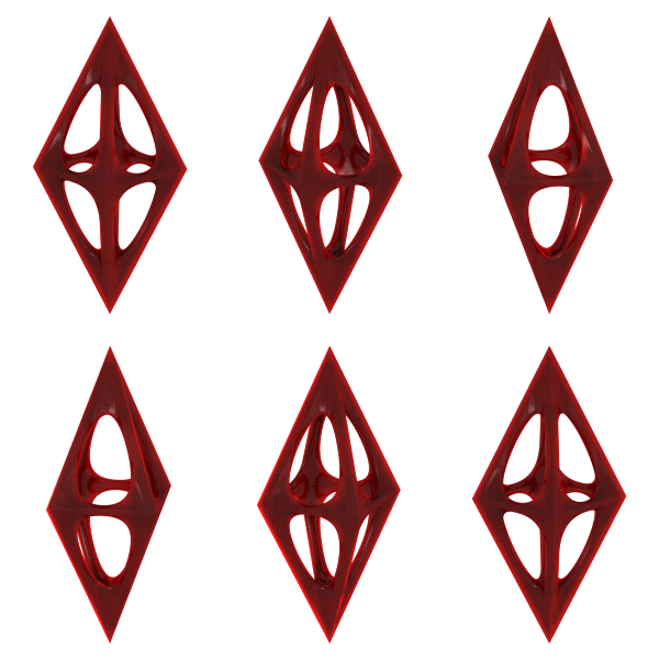
Height Map is a two-dimensional representation of three-dimensional terrain data, where varying brightness or color values correspond to different elevation levels in the depicted landscape or object. This sophisticated visualization technique, fundamental to digital design and computer graphics, employs grayscale images where lighter pixels typically represent higher elevations while darker pixels indicate lower elevations, creating a precise mathematical model of surface topography. In the realm of design, height maps serve as essential tools for creating realistic terrain in digital environments, architectural visualization, and industrial product development. The concept originated from traditional cartographic techniques but has evolved significantly with digital technology, becoming instrumental in various design applications including video game environment creation, industrial prototyping, and architectural modeling. Height maps facilitate the efficient storage and manipulation of complex 3D surface data in a simplified 2D format, making them particularly valuable for computational design processes. In contemporary design practice, height maps are frequently utilized in displacement mapping, where they modify the geometric position of surface points in 3D models to create detailed surface variations and textures. The technique has gained significant recognition in design competitions, including the A' Design Award, particularly in digital design and architectural visualization categories, where designers leverage height maps to create compelling representations of spatial concepts. The methodology has evolved to incorporate advanced features such as normal mapping and parallax mapping, enabling designers to achieve increasingly sophisticated surface details while maintaining computational efficiency.
Author: Lucas Reed
Keywords: terrain visualization, digital elevation model, surface topology, displacement mapping, 3D modeling, computational design
 About the Design+Encyclopedia
The Design+Encyclopedia is a crowd-sourced reference of information on design. Unlike other crowd-sourced publications on design, the Design Encyclopedia is edited and actively monitored and publishing is only possible after review of submitted texts. Furthermore, editors of the Design Encyclopedia are mostly consisting of award winning designers who have proven their expertise in their design respective fields. Information posted at design encyclopedia is copyrighted, you are not granted a right to use the text for any commercial reasons, attribution is required. If you wish to contribute to the design encyclopedia, please first register or login to A' Design Award and then start a new design encyclopedia entry.

If you did not find your answer, please feel free to check the design encyclopedia for more entries. Alternatively, you can register and type your own definition. Learn more about A' Design Award's Design+Encyclopedia.

