DESIGN NAME:
Hydro-City in Istanbul
PRIMARY FUNCTION:
Urban Design and Planning
INSPIRATION:
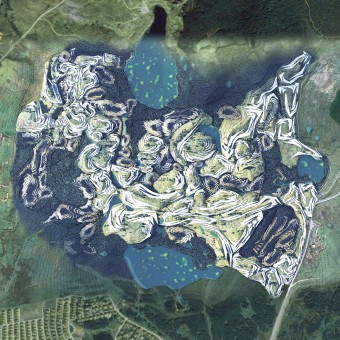
The site consists of the water basin from Terkos lake, and the natural plateau area was used to be land abundant with natural resources. It also consists of complex geomorphologic elements such as subterranean drainage and limestone bedrock located in the Karsts region. The site would need to be redefined with a water infrastructure system in order to suggest alternate urban development solutions that address the natural environments and rehabilitated industrial areas.
UNIQUE PROPERTIES / PROJECT DESCRIPTION:
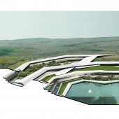
The project proposed different mechanisms of integrating the urban design of touristic areas within the mining landscape, in combination with the implementation of agro-industrial uses linked to existing agricultural practices on the site and water treatment through algae farms. The urban design is applied existing topological configuration in the site to fully adopt the shape of the natural environment.
OPERATION / FLOW / INTERACTION:
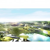
The urban design aims to create a tourism destination to enjoy leisure activities in Istanbul. The town will establish parks, open public space, hotels, housing, institutions, waterfront, farm, and diverse leisure activity places to enjoy nature and vitalize the local economy.
PROJECT DURATION AND LOCATION:
The project started in September 2011 in Rotterdam and finished in June 2012 in Rotterdam, and was exhibited in the Berlage Institute in July 2012.
|
PRODUCTION / REALIZATION TECHNOLOGY:
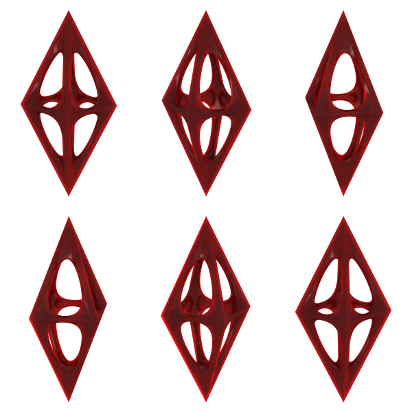
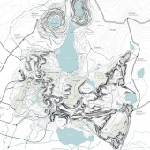
The main constraint for the site would come from the need to reinforce already stretched roads and transportation networks in Arnavutkoy. The location of residential and industrial facilities needs to expand current infrastructure and imply investment in upgrades of existing. To measure the complex built environment, the project applied a parameterized method to evaluate landform and roads. The project used ArcGIS for design and land evaluation and 3D Rhino to develop parametric modules for architectural design.
SPECIFICATIONS / TECHNICAL PROPERTIES:
The project area is approximately 1,500,000 sqm. It contains urban planning, landscape design, and architecture design.
TAGS:
Hydro-city, Urban Design, Landscape, Architecture, Park, Ecology, Tourism, Post-mining area
RESEARCH ABSTRACT:
The project aims at using the existing geological formation in the north of Arnavutkoy as a typological model for a new productive urban landscape. The proposal ought to circulate the economic, nutrient, and ultimately resource loops in order to gain benefit for the immigrants. This territorial design provides the configuration linking to tourism industry and residential areas to create productive socio-cultural benefits to the city.
CHALLENGE:
Mining has made a huge impact on the site, turning the open-pit quarry of coal into a series of artificial topographies and lakes which are currently facing remediation through extensive planting. The urban design should overcome the dynamic of existing terrain conditions. The project finally proposed a network of roads in one of the main pits that finally links all of them, partially leveling the topography, but leaving a water source area at the bottom of a multiple node system.
ADDED DATE:
2021-04-01 08:57:36
TEAM MEMBERS (1) :
IMAGE CREDITS:
Jung Hyun Woo, 2020
|
